Airspace Awareness Support
AI-assisted visual detection and tracking of drones and other low-altitude objects, on the cameras you already run.
Explore
Observation node
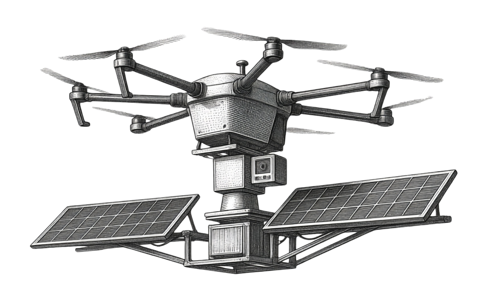
Solar-powered autonomous PTZ observation for off-grid and remote environments.
Value statement
A portable, solar-powered, autonomous PTZ observation node for places where fixed infrastructure is unavailable.
Remote sites often lack power and network infrastructure, which makes continuous observation difficult.
Overview
ReconHop is a solar powered PTZ camera node that observes autonomously, built for off-grid and remote places where fixed power and network infrastructure are unavailable.
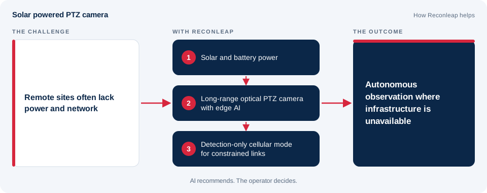
Solar and battery power keep it observing without fixed power, and its long-range optical PTZ camera offers 360-degree pan-tilt coverage. Edge AI processing handles analysis and storage locally, a cellular link can run in a detection-only mode for constrained connections, and low-light observation extends coverage beyond daylight hours. The node can be relocated quickly as the mission changes.
Key capabilities
Observation without fixed power.
360-degree pan-tilt coverage.
Local processing and storage.
Detection-only communication mode for constrained links.
Observation beyond daylight hours.
Move the node as the mission changes.
System architecture
AI recommends. The operator decides.
Deployment workflow
Integrate fixed cameras, PTZ systems, and distributed sensors.
Run video analytics and mission workflows locally at the edge.
Turn detections and events into a ranked operational picture.
Keep the operator in control with clear evidence and rapid access to relevant footage.
Technical specification
Detailed specifications are shared on request.
Related mission environments
AI-assisted visual detection and tracking of drones and other low-altitude objects, on the cameras you already run.
ExploreObservation where fixed power and network infrastructure are unavailable, using solar and battery power, local processing and detection-only modes for constrained links.
ExploreWide-area observation and fast review of changes, organized into a prioritized operational picture.
ExploreRemote visibility of terrain and property, focused on safety and responsible use.
ExploreFAQ
The operator. AI-assisted prioritization with human authorization.
See how Reconleap can connect sensing, edge intelligence, and human decision-making for your operational environment.